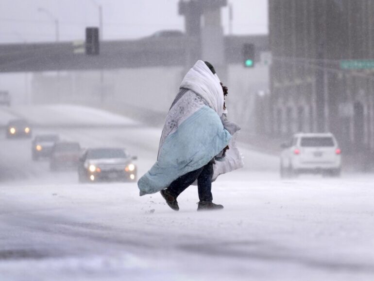
As the holiday season approaches, millions of Americans are preparing for travel, but a major storm could create challenging conditions across the central and eastern United States this week. According to AccuWeather senior meteorologist Alex Sosnowski, rain, gusty winds, and possible snow are expected to disrupt roads and airports just as early Christmas travel ramps up.
The holiday travel period is set to be busier than ever. AAA projects a record 122.4 million people will travel more than 50 miles from home between December 20 and New Year’s Day. This includes many students finishing fall semester and families heading out early. With Hanukkah already underway, highways and airports will see heavy traffic starting late this week.
The storm begins in the Pacific Northwest, where it is already causing flooding in western Washington and Oregon. As it moves eastward, long-lasting Arctic cold air is retreating, allowing warmer air to push in more easily. This shift means much of the eastern US will see temperatures rise into the 40s, 50s, or even 60s from Wednesday through Thursday night. However, strong winds could make it feel 10 to 15 degrees colder.
Rain is the main concern for most areas. Wet conditions are forecast from the Mississippi Valley to the Appalachians on Wednesday and Thursday, spreading to the Atlantic coast by Thursday night. Slick roads, reduced visibility, and potential street flooding—especially where snow is melting or drains are blocked—could slow drivers. Airports may face delays from wet runways and low ceilings.
Winds will add to the problems. Gusts up to 50 mph are possible in the mid-Atlantic, Appalachians, and New England, with stronger blows of 60 mph near the Great Lakes, Northeast coast, and higher elevations in New Hampshire and Vermont. In extreme spots, gusts could reach 80 mph.
Some areas might see wintry mix or snow. Pockets of lingering cold in the Appalachians and northern New England could cause rain to freeze on surfaces, especially in higher terrain. After the main storm passes, lake-effect snow is likely Thursday night into Friday in parts of Michigan, western and northern New York, and northwestern Pennsylvania, making local travel difficult. Meteorologists are also monitoring a possible shift from rain to snow in the Appalachians late Thursday or Friday.
Behind the storm, colder air will return over the weekend before Christmas, sweeping from the northern Plains and Midwest on Friday into the Northeast by Saturday. This should dry out most roads, but gusty winds could still delay flights in the Midwest and Northeast.
Overall, travelers should prepare for delays, especially by car or air in the eastern half of the country mid-to-late week. Checking updates and allowing extra time is key for safe holiday journeys. While the storm may melt much of the early December snow cover, a separate system later could still bring a chance of snow closer to Christmas in some spots.